PEARL RIVER ECO DESIGN
Through stunning imagery and inspiring design work, we hope to affect great change at a time when it’s needed most.
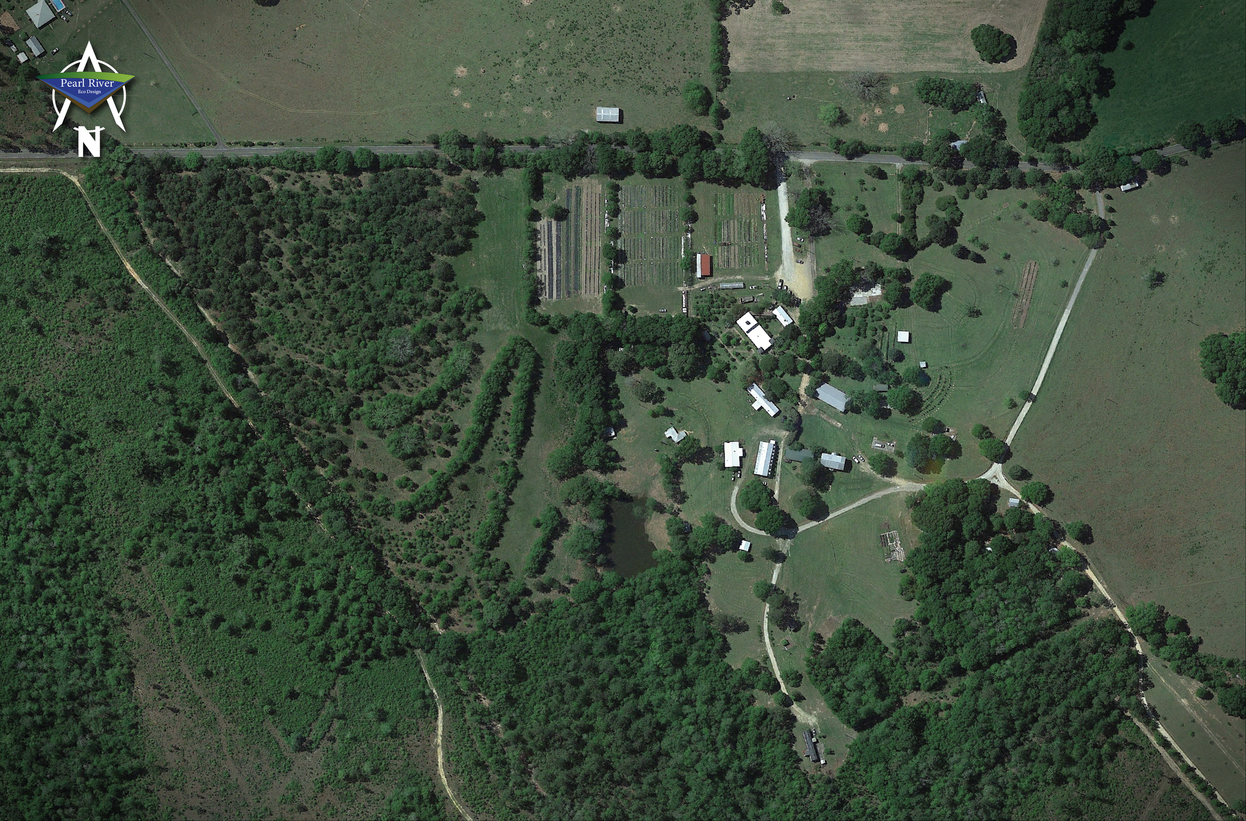
Enabling a designer to offer guidance remotely is a relatively new ability and we are the leaders in the realm of Permaculture Design. We build maps that vary in size, complexity and resolution. Ultimately, the map details are dependent on the available data and imagery available for the area. We work remotely from the United States in Poplarville, Mississippi but can deliver our services globally! We’ve teamed up with some of the world’s leading designers and are very proud to be of service to them!
Previously, the level of accuracy and resulting confidence forced the designer to appear on site. Even so, the observations made in person cannot compete with what is now observed through the technologies we leverage. Advancements in technology have really changed the game for planning in regenerative agriculture. With the use of LiDAR (Light Detection and Ranging), as well as satellite and drone technology, we can observe landscapes like never before, remotely from anywhere on earth! When coupled with GIS (Geographic Information System) software,we are able to manipulate the data and accurately see the terrain from many aspects. This is called remote sensing and we can learn a LOT from it! This enables us to design intelligently with great ease!
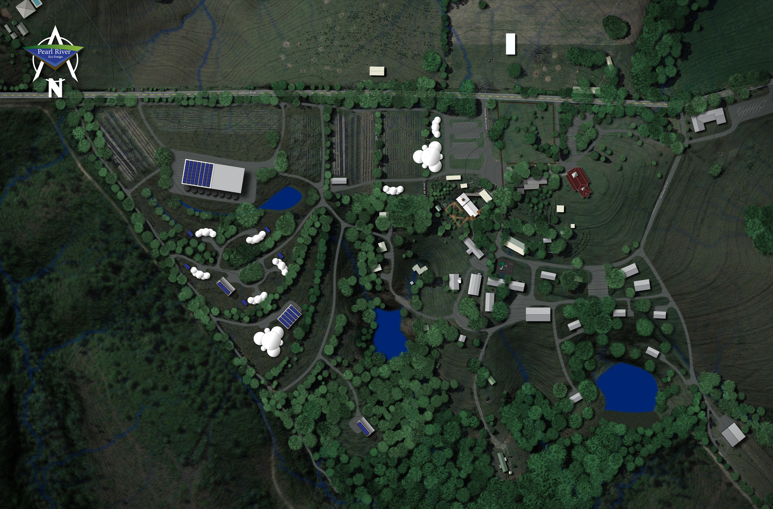
We develop a whole SUITE of maps!


Understanding how water moves through the landscape is critical when devising ways to slow, spread, trap, and release it. These include passive irrigation for plants and animals, groundwater penetration for aquifers, aquaculture, material transport, drinking, cleaning, power generation, drought prevention, and fire prevention - all centered around water. Our maps and animations are hyper-focused on exposing this information.
We can design your homestead or small community!
Permaculture Designs
A detailed assessment of your location can be performed remotely through various means of technology. Satellites, drones, and fixed wing aircraft with an array of sensors provide many kinds of data that can be processed. Once a basemap is generated, an appropriate design can be made.
What are the needs of the human and animal inhabitants? Erosion issues? Need to move water away from your home? Perhaps you’d like to block cold or damaging wind and deaden annoying sounds, smells or prying eyes. By utilizing the ecological functions of trees and plants, we can design with them as tools.
Plan rotational grazing strategies that reduce the input requirements for feed, increase the soil health and reverse eroded landscapes. Create drought-proof landscapes and handle your watering needs without pumping water out of the ground! Working passively WITH nature greatly reduces our needs and efforts and is at the core of permaculture design.